Country Information
Location
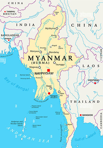
Myanmar, officially known as the Republic of the Union of Myanmar, is situated in Southeast Asia, bordered on the north by Tibet Autonomous Region of China; on the east by China, Laos, and Thailand; on the south by the Andaman Sea and the Bay of Bengal; and on the west by the Bay of Bengal, Bangladesh, and India. It is located between latitudes 09 32’N and 28 31’N and longitudes 92 10’E and 101 11’E.
Geography
The country covers an area of 677,000 square kilometres (261,228 square miles) ranging 936 kilometres (581 miles) from east to west and 2,051 kilometres (1,275 miles) from north to south, The coastal region is known as Lower Myanmar, while the interior region is known as Upper Myanmar. The Ayarwaddy (Irrawaddy) River system are the dominant topographical features of Myanmar. The mountains of the northern margin rise to 5881 meters (19,296 ft.) atop Hkakabo Razi, the highest peak in Southeast Asia. In fact, Myanmar is the largest country in mainland Southeast Asia.
Climate
Myanmar is a tropical country and the climate is very warm, with an annual average of 32 degrees. It is warm to hot all year round, inviting bathing at average water temperatures of 28 degrees Celsius. Generally, Myanmar has three seasons: the hot season (mid-February to mid-May), the cool season (late October to mid-February), and the rainy monsoon season (mid-May to late October).
People and Society
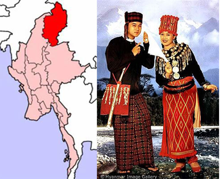
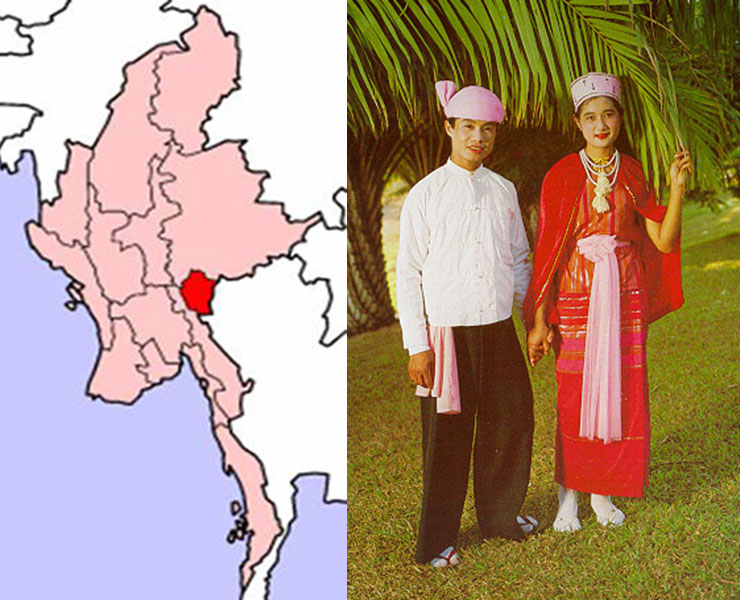
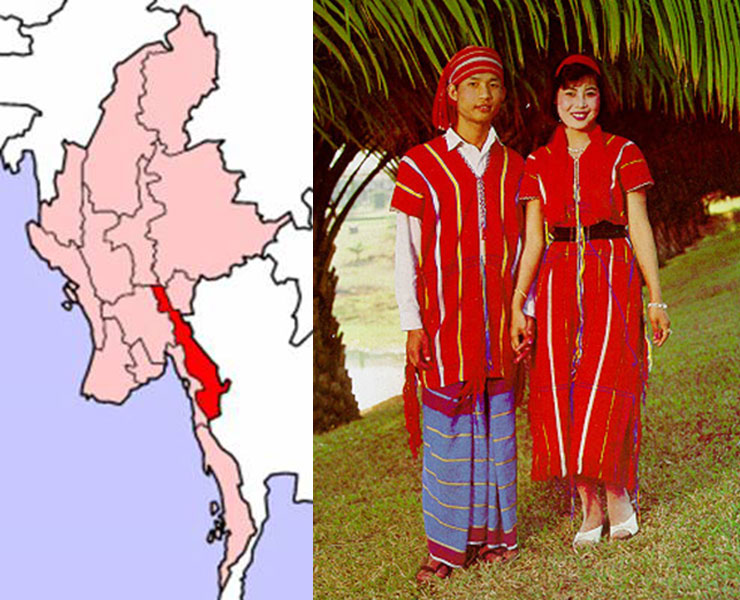
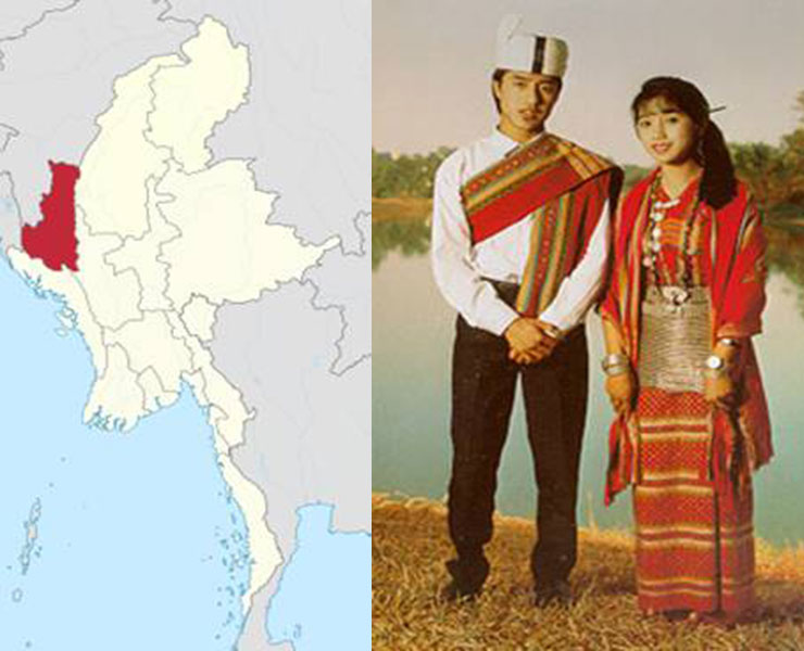
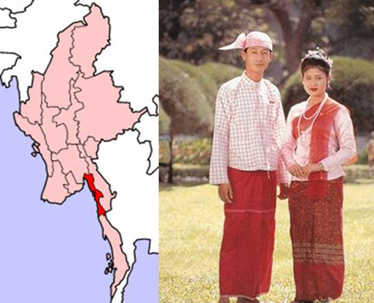
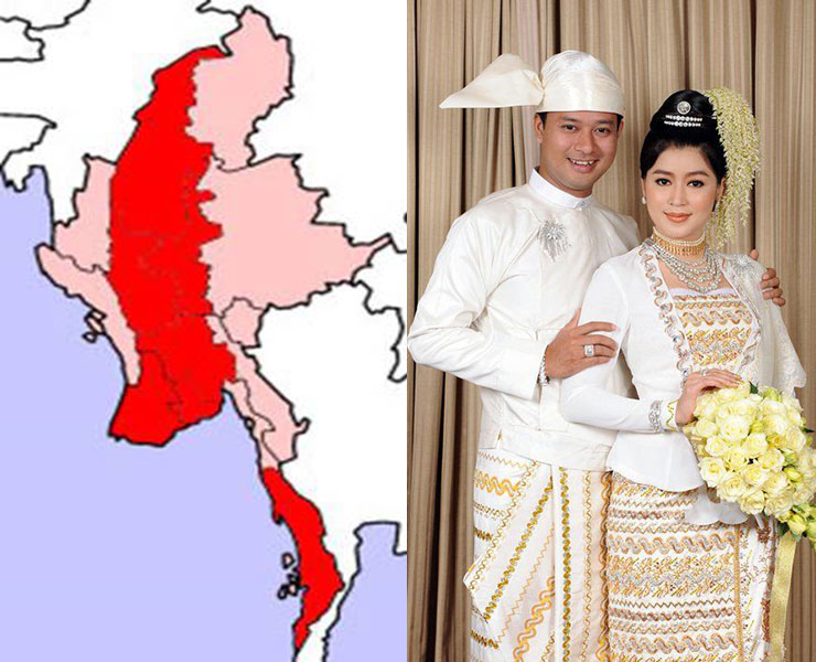
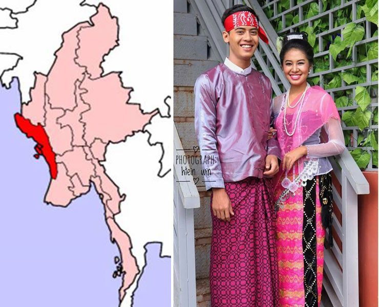
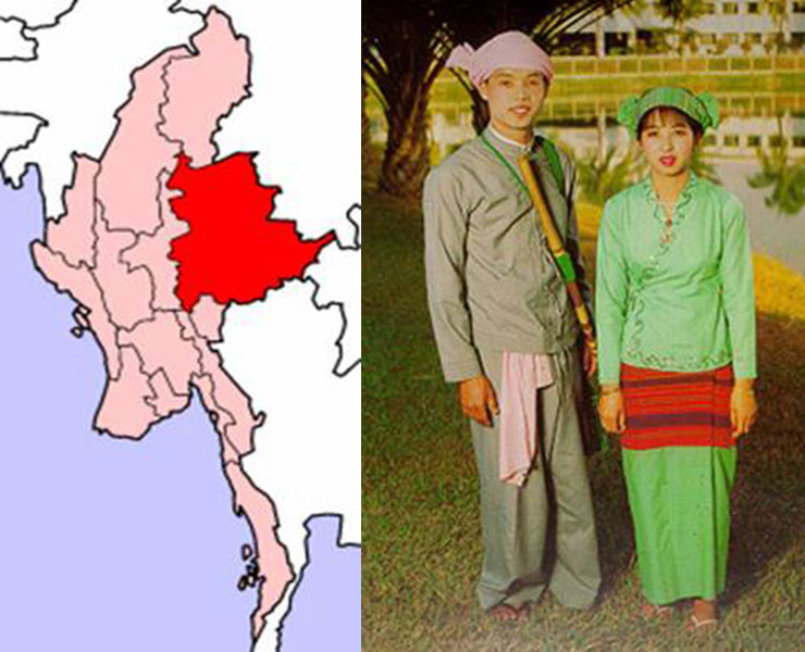
Myanmar has a population of over 51 million (2014 Census). The major ethnic groups are Kachin, Kayah, Kayin, Chin, Mon, Bamar, Rakhine and Shan. Generally, all the people are called Myanmar. While over 80 percent of Myanmar embraces are Theravada Buddhism, there are also Christians, Muslims, and Hindus. Predominantly Myanmar (Bamar) and ethnic minorities speaking Kachin, Kayin, Chin, Rakhine and Shan and overall 135 distinguishable ethnic groups dialects and also Cantonese, Mandarin, Hindustani, Urdu spoken Chinese and Indian Immigrants. Being once a British colony, English is also widely spoken across the country. What is for sure is that the people of Myanmar are well known for being a warm and friendly towards visitors.
Festivals
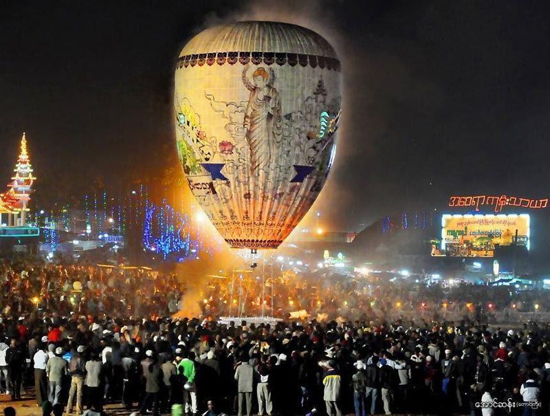
The country is recognised for having many colourful and exciting festivals celebrating in each month. Among them are Thingyan Water Festival, Naga New Year and the Hot Air Balloon Festival. Discover exciting festivals that represent Myanmar’s rich culture, traditions and customs. Each festival is made memorable and fun by the whole hearted participation of locals. Join them in their celebrations and witness beautiful parades of offerings, lights, hot air balloons and even interesting performances in the festivals of Myanmar. Read more about Festivals in Myanmar .
Tourism
Myanmar is rich in culture and unique in many ways, in terms of natural landscapes, culture, ancient and architectural buildings, and in terms of its charming and friendly peoples. Tourism is relatively new to Myanmar. There are still many ‘untouched’ and ‘undiscovered’ tourists’ destinations across Myanmar. While many parts of Myanmar are still off-limits to visitors, there are some truly incredible places waiting to be explored. Virgin jungles, snow-capped mountains, extraordinary trekking routes, and even magnificent beaches along its 2300 km long coastline, combined with a rich and glorious heritage awaiting to be explored.
In addition to its astonishing landscapes and untouched nature, beautiful temples and glittering posadas, are most famous and present what Myanmar is about. Myanmar is dotted with glittering thousands of Buddhist temples, stunning stupas and pagodas. Thousand-year-old cities, sacred religious sites, architectural and colonial buildings, spectacular monuments and statues like Shwedagon pagoda, Bagan one of UNESCO heritages, Inya Lake well-known for rowing by legs are offering visitors impressive and magnificent breathtaking views while bringing peace and tranquillity. Such monuments, ancient sites, and breathtaking beauty attest to a vibrant culture that is still home to 135 different ethnic groups. Their unique culture and lovely traditions and customs will attract, embrace and shake the hearts of tourists.
Transportation
The main arrival points for most international visitors are Yangon, Mandalay and Nay Pyi Taw where three international airports are situated. Internal flights are also available with many domestic centers easily reached by air. Roads connecting the major centres are good, however as you leave these areas the quality varies. The rail system, services a large area of the country with the main routes being between Yangon and Mandalay, Kalaw, Pyin Oo Lwin and Hispaw.
Historical Background
Archaeological findings reveal that parts of Myanmar were inhibited some five thousand years ago. Entering the recorded history, the Pyu period existed between 100 BC and the 9th century AD, with the establishment of city-states. The centers of the Pyu civilization were the old cities of Han Lin, Sri Ksetra and Beikthano.
According to Myanmar Chronicles, Thamuddarit ruled 19 Bagan villages and crowned himself king at the place called Yonelhwat, 7 miles from the Irrawaddy River in 107 AD. In 167 AD during the reign of King Pyusawhti, the place was called Arimaddhana. The 42nd among the 55 kings of Bagan dynasty, King Anawrahta (AD 1044-1077), established the first Myanmar Empire utilizing military, economic, and social means. During the reign of King Nayathihapatae (AD 1256 – 1287), the political situation became unstable due to the economic crisis. Rebellion arose under the deteriorating authority of the king. In 1277, the Mongol invasion further destabilized the country.
Simultaneously with the rise of Ava, on the other hand, Bago (Hantharwaddy) also emerged. In the following years, the people had to endure the 40-year war between Ava and Hanthawaddy, which was essentially a fierce competition between Ava and Bago (Hanthawaddy) feudal lords in the southern part of Myanmar. During the reign of King Shwe Nan Kyawt Shin Narapati (1501-1527), Ava’s situation was already in a state of decline. As the feudal state of Taungoo became stronger, King Shwe Nang Kyawt Shin had to cede five watershed districts to Taungoo.
In the 16th century AD, King Bayinnaung spread his influence over the entire country and became the unrivaled suzerain in Myanmar, and was able to establish the Second Myanmar Empire. After taking over the central region, he went on to conquer the eastern, western, northern and southeastern regions of Myanmar as his weapon state, and became the land of Hantharwaddy.
The King Alaungpaya was able to reunite the entire country that was disintegrating and establish the Third Myanmar Empire also known as the Konbaung Dynasty (AD 1752 – 1885). During the Konbaung Dynasty, the First War with the British in 1824-1826, the Second War in 1852, and the Third War in 1885 broke out, and the entire country of Myanmar fell into the British colonial from 1 January 1886 to 20 May 1942.
After the Burma Independence Army-BIA led by General Aung San liberated the entire country of Myanmar with the help of the Japanese, which had to overcome the Japanese occupation period from 21 May 1942 to 7 May 1945; and the British reoccupation (the second half) from 8 May 1945 to 3 January 1948. Due to the tireless efforts of General Aung San and national leaders, the country returned to being a sovereign independent state in 4th January 1948.
Reference: Myanmar National Portal
Chancery
Office Hour:
Monday to Friday
09:30 hrs to 13:00 hrs
14:00 hrs to 16:30 hrs
Contact Us
Via Caldonazzo snc 00135 Rome, Italy
Consular Section
Office Hour:
Monday to Friday
09:30 hrs to 13:00 hrs
merome2023.consularservices@gmail.com

